
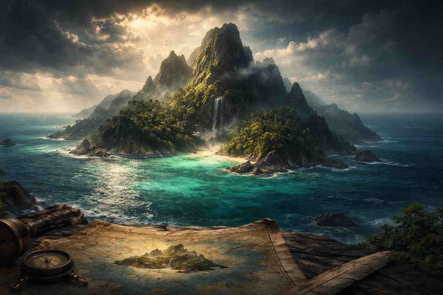
The Island That Appears and Disappears on Maps
Could you imagine stumbling upon an island that doesn’t even want to stay on the map? It sounds like something straight out of a fantasy novel or a sci-fi film, right? Yet, this phenomenon exists in the real world, and it’s called Sandy Island. Though once marked on maps, Sandy Island has become the epitome of geographic intrigue, as it has seemingly vanished into thin air. This curious case offers a fascinating glimpse into how our understanding of geography can sometimes be more myth than fact.
The Discovery of Sandy Island
Sandy Island was first recorded on nautical charts as early as the 19th century. Positioned in the Coral Sea between Australia and New Caledonia, it was considered a small, sandy landmass, making it a tempting target for explorers and maritime enthusiasts alike. For decades, navigators assumed it was a reality, and many even claimed to have landed on the island. This was bolstered by representations in various maps, which gave an air of authenticity to the island’s existence.
However, as digital mapping technologies evolved, and satellite imagery became more accurate, the truth began to unfold. In 2012, researchers were baffled when they found no trace of the island during an expedition. A team aboard the Australian research vessel “Southern Surveyor” set out to confirm its existence, but instead of beach sand and palm trees, they encountered only deep ocean. It was as if the island had a mind of its own, choosing to blink out of existence when observed.
The Great Misunderstanding
So how did an island so confidently marked become a mere mirage? The story of Sandy Island delves into the realm of cartography. It seems the island was initially placed on maps based on sailors’ tales and hand-drawn sketches, relying heavily on anecdotal evidence rather than comprehensive research. It was a classic case of misinformation propagating through the ages, leading to a collective misbelief.
Think about it: How often do we accept information at face value simply because it’s been around for a while? Sandy Island exemplifies this cognitive bias, showing us just how fragile our understanding of geography can be. Interestingly, it’s not just Sandy Island that has suffered from this phenomenon; several other islands have been misrepresented or entirely fabricated on maps. This revelation forces us to scrutinize the sources of our information critically.
The Role of Technology in Geography
What makes this case of Sandy Island particularly fascinating is the role technology plays in our journey of discovery. High-resolution satellite imagery and advanced mapping tools have brought new dimensions to geography, revealing the world in ways previously unimaginable. Once upon a time, maps were drawn by explorers who had little to go off except their adventures—now, we can essentially zoom in on a neighborhood from a satellite miles above.
The revelations surrounding Sandy Island challenge us to think about our relationship with technology. The same system that revealed the island’s non-existence has also allowed us to discover countless places, refine our understanding of geography, and plan expeditions to previously unreachable destinations. It stirs a strange realization that while technology can correct past misconceptions, it can also introduce new uncertainties and surprises.
The Cultural Impact of the Mirage Island
Sandy Island isn’t just a nautical oddity; it has burrowed its way into popular culture, as intriguing as any ghost story. It has appeared in excerpts from readers’ discussions about marine myths, travel blogs, and documentaries featuring mysterious places around the world. The idea of an island that “was never there” feeds into our love for the uncanny.
The mystery behind Sandy Island serves as a metaphor for the human experience, a reminder that not everything we seek or believe is accessible—even in this hyper-connected world. This ties into deeper philosophical questions: What else might be missing from our maps, both literally and metaphorically? In a society that places heavy reliance on technology and data, we may overlook the underlying complexities and uncertainties that exist in the world around us.
Broader Implications for Cartography and Error
Errors in cartography are not unique to Sandy Island. Misnomers and inaccuracies litter the maps of history. Did you know that the famous peaks of Machu Picchu were once omitted from maps before the location was fully explored and scientifically validated? Each instance reveals the intricate dance between exploration, belief, and documentation.
When maps guide our understanding of geopolitical boundaries, the gravity of inaccuracies becomes increasingly clear. The misrepresentation of territory can lead to disputes, cultural misunderstandings, and conflicts. Countries have fought over borders believed to be well-established, only to find that their foundations were shaky—a sobering thought when contemplating the influence of a simple island notion. Sandy Island, in its nonexistent state, serves as a potent reminder of the importance of accuracy in geographical representation.
Why Are We So Fascinated?
It’s human nature to be captivated by the unknown. Sandy Island has become a symbol of mystery and complexity in our quest for knowledge. Could it be that our fascination stems from more than just the island’s disappearance? It speaks to a shared recognition of how we construct reality. Every time we learn something surprising or discover a ‘lost’ item—be it physical or intellectual—we experience a blend of wonder and curiosity.
The allure of false histories invites us to explore the narratives we hold dear, compelling us to understand our past better. Are our maps reflections of fact, fiction, or a mix of both? While many would argue that geography is a science, the misadventures of Sandy Island indicate that it embodies the art of storytelling as well.
In the end, Sandy Island may no longer exist in our geographic lexicon, but it has left an indelible mark on our consciousness. The hide-and-seek game played by this elusive island serves as a poetic reminder of the richness of human curiosity and the beautiful unpredictability woven into our collective journey of discovery.
If Sandy Island has sparked a new curiosity about how we interact with the world around us, then it’s worth a visit to platforms like the Bing Quizzes which often challenge us with intriguing questions that can transform the way we perceive reality itself. Understanding our world can be as much about the surprises we uncover as the certainties we cling to.
The twists and turns of geography make for an exciting discourse, one that continues to unfold as we venture into the depths of both our maps and our understanding of the cosmos. We might not know everything, but isn’t that the fun of exploring the world?